বিষ্ণুপুর
Geography
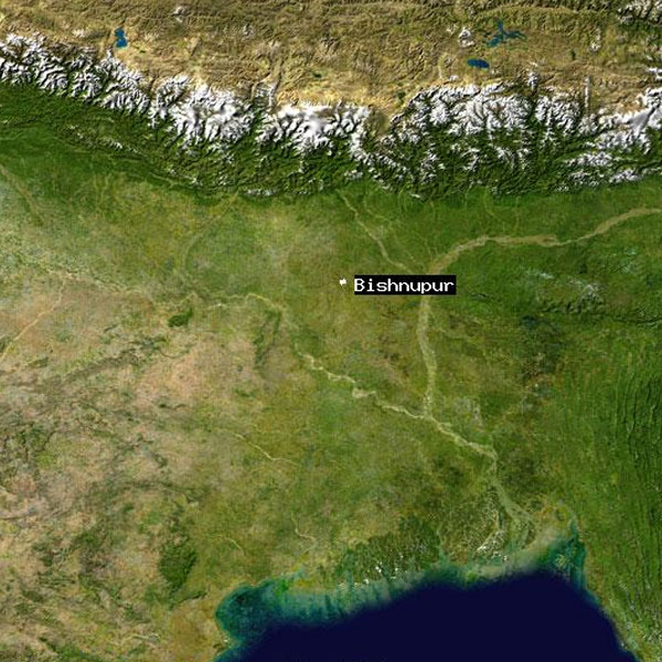
This area has fertile, low -lying alluvial plains. It is a predominantly rural area with 90.06% of the population living in rural areas and only 8.94% living in the urban areas. It was a part of the core area of Mallabhum. Mallabhum was the kingdom ruled by the Malla kings of Bishnupur, primarily in the present Bankura district in Indian state of West Bengal.